Services
Cadastral mapping

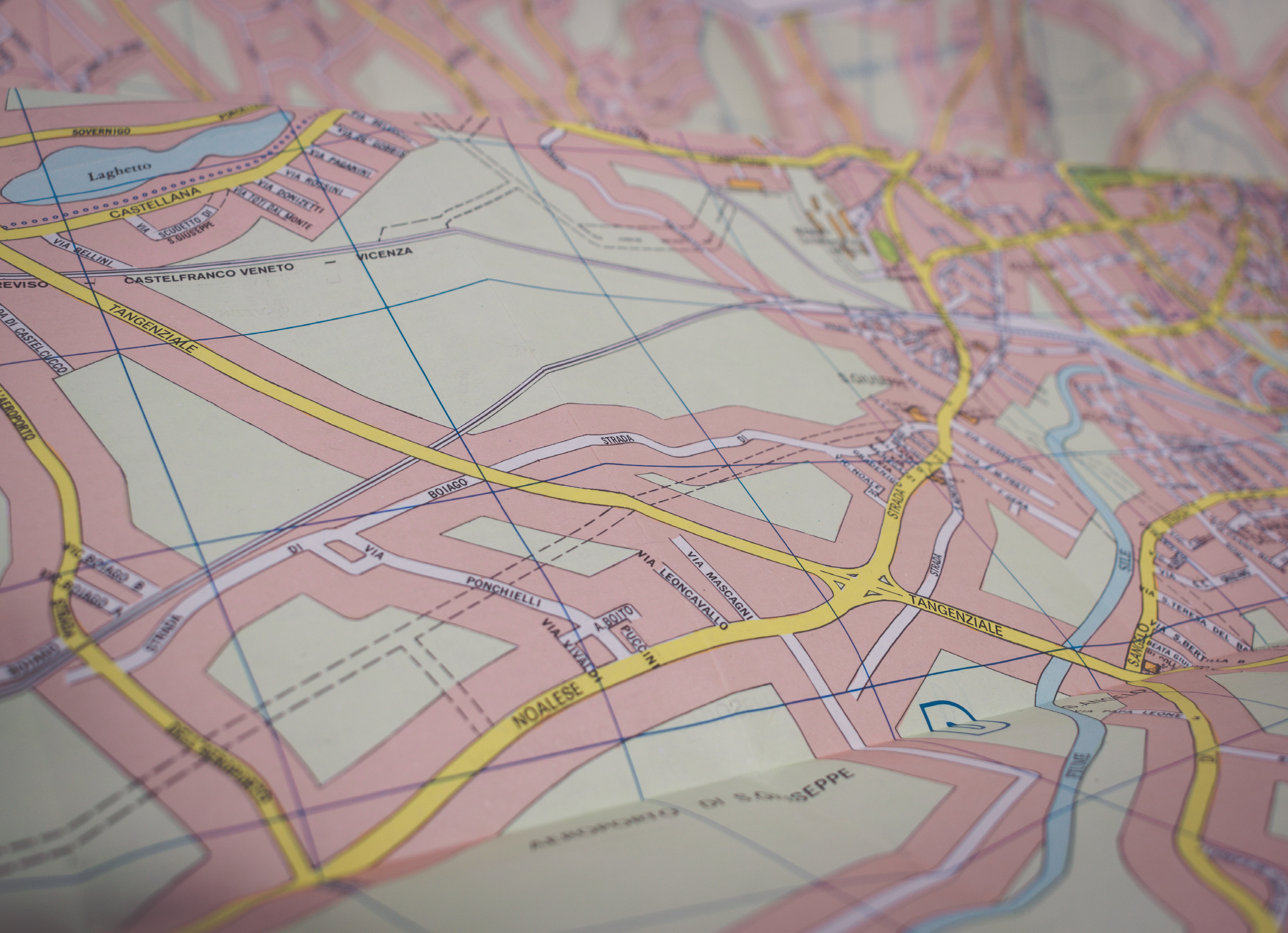
Cadastral mapping is about identifying the legal boundaries of an area. Cadastral mapping services are of a great use for real estate sector, engineering organisations, national and local government bodies, architecture firms.
RNK offers customised solutions for land related matters as per the requirements of our clients. Our mapping services are precise and scales are large enough to identify clear boundaries of land parcels. We create cadastral maps that clearly define miniscule details of each plot of land, roads, railways, water bodies and plantation areas.
RNK is dedicated to serve the Geo Spatial segment with a host of cadastral mapping services that include:
Various types of record-keeping, analysis, decision making and land surface modelling can be carried out using the tools provided as the end product of cadastral mapping service.

